Category Archives: mapping

DXF File from OS DEM Data (3 colour)

1 Open QGIS with OS DEM data loaded

2 QGIS->Raster->Extraction->Clipper  save area as new file (.tif)

3 QGIS new project, drag in the .tif

4 Select the tif (DEM) data and then QGIS->Raster->Extraction->Contours

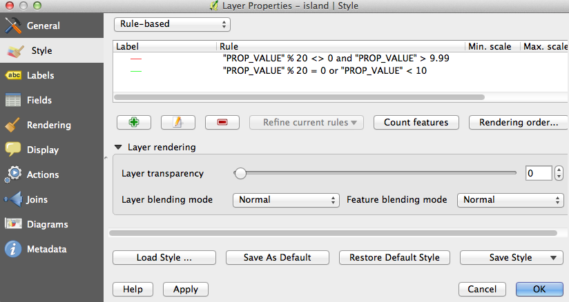
5 Select the new contours file and right click Properties. Instead of Single Symbol select rule-based.  Load in the 3 colour contour rule.

6 Save as DXF (use correct scaling)

QGis from OS Contours to two coloured contour DXF file

  1. In QGis copy the area required using the selection tool.
  2. Create a new project and Paste in the contours.
  3. Use Documents/Mapping/QGis Projects/scale_conversion.numbers to predict the model size based on the depth of the material.
  4. select the contour layer on the left, right click and select properties
  5. select Style and then load previously saved style file “two_colour_contours.qml” (or copy this one, top box needs to be set to rule-based)
  6. Screen Shot 2014-10-24 at 23.41.10
  7. apply the style and the contours should be blue and green.Screen Shot 2014-10-24 at 23.28.48
  8. if below sea-level (low water line) contours appear then it is necessary to remove them by clicking the attribute table button (towards right hand end of top bar). Order by SUB_TYPE and select the low water line items, click the pencil to edit and then click the delete button.
  9. Click Project->DXF Export.  Save with symbology, don’t forget to highlight the item to be saved.

SRTM Contours

contours of the world available from the NASA shuttle mission.

http://dds.cr.usgs.gov/srtm/version2_1/Documentation/SRTM_Topo.pdf

http://dds.cr.usgs.gov/srtm/version2_1/SRTM30/srtm30_documentation.pdf

See also DEM data at  http://www.viewfinderpanoramas.org/Coverage%20map%20viewfinderpanoramas_org3.htm

http://www.terrainmap.com/rm39.html

A high quality DEM from the Advanced Spaceborne Thermal Emission and Reflection Radiometer (ASTER) instrument of the Terra satellite is also freely available for 99% of the globe, and represents elevation at 30 meter resolution. A similarly high resolution was previously only available for the United States territory under the Shuttle Radar Topography Mission (SRTM) data, while most of the rest of the planet was only covered in a 3 arc-second resolution (around 90 meters).

https://tandemx-science.dlr.de/ high res earth mapping

or use OS :

http://www.ukmapcentre.com/acatalog/height-data-contours-dtm.html?gclid=COHrwtvRvcECFRMatAodRkQALQ

https://www.ordnancesurvey.co.uk/opendatadownload/products.html

to convert os data to sketchup:

http://www.geoplanit.co.uk/?p=103

online mapping  :

http://www.openstreetmap.org/#map=14/57.7987/-5.2579&layers=C (roughish 10m contours from opencyclemap)

http://www.arcgis.com/home/webmap/viewer.html?useExisting=1&layers=30e5fe3149c34df1ba922e6f5bbf808f (smooth 25m contours)

http://www.esriuk.com/software/arcgis/free-mapping-software

 http://www.terrainmap.com/

http://www.qgis.org/en/site/ http://www.kyngchaos.com/software/qgis